


0.0 / 5
How satisfied were you with the behaviour and cooperation of the staff?

Naduvil Panchayat is a collective body of elected representatives formed to manage the administrative affairs of Panchayati Raj institutions. For a Grama Panchayat, it serves as the primary committee responsible for implementing the decisions of the Grama Sabha and managing daily governance.The key components of the Panchayat are:President: The head of the Panchayat. They preside over meetings and oversee the overall functioning of the Panchayat.Vice President: Discharges the duties and responsibilities in the absence of the President.

President
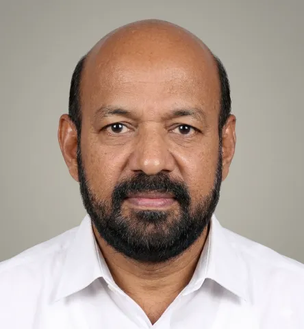
Vice President & Chairman Standing Committee for finance

Chairman, Standing Committee for development

Chairman,Standing Committee for Welfare
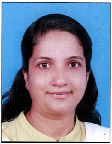
Chairman,Standing Committee for Health and Education

Secretary, Grama Panchayat

Place – Naduvil Grama Panchayat, Kannur District
Ward – 20
Legislative Assembly Constituency – Irikkur
Lok Sabha Constituency – Taliparamba
Villages – New Naduvil, Vellad
Total Population – 36,712
Area – 87.97 sq. km.

Download Now



On 1 April 1955, Naduvil Panchayat came into existence in Kannur district. The boundaries of the Panchayat, having an area of 87.97 sq. km., are Alakode Panchayat on the north, Eruveshi Panchayat on the east, Chengalai-Sreekandapuram Panchayat on the south, and Chapparapadavu Panchayat on the west. According to the 2001 Census, the total population of the Panchayat is 31,347, including 15,767 females and 15,580 males. The literacy rate here is 90%. The geographical features of the Panchayat consist of a group of hills including Paithalmala, Thermala, Ashan Kavala, Thavukunnu, Maliyampetti, Pathanpara and others. The main rivers flowing through the Panchayat, which is included in the highland region, are Orkkayam River and Karuvanchal River. This Panchayat, which comes under the Northern Midland Zone,...
Read More